|
|
Send us email (it's safe to enable JavaScript on this page) |
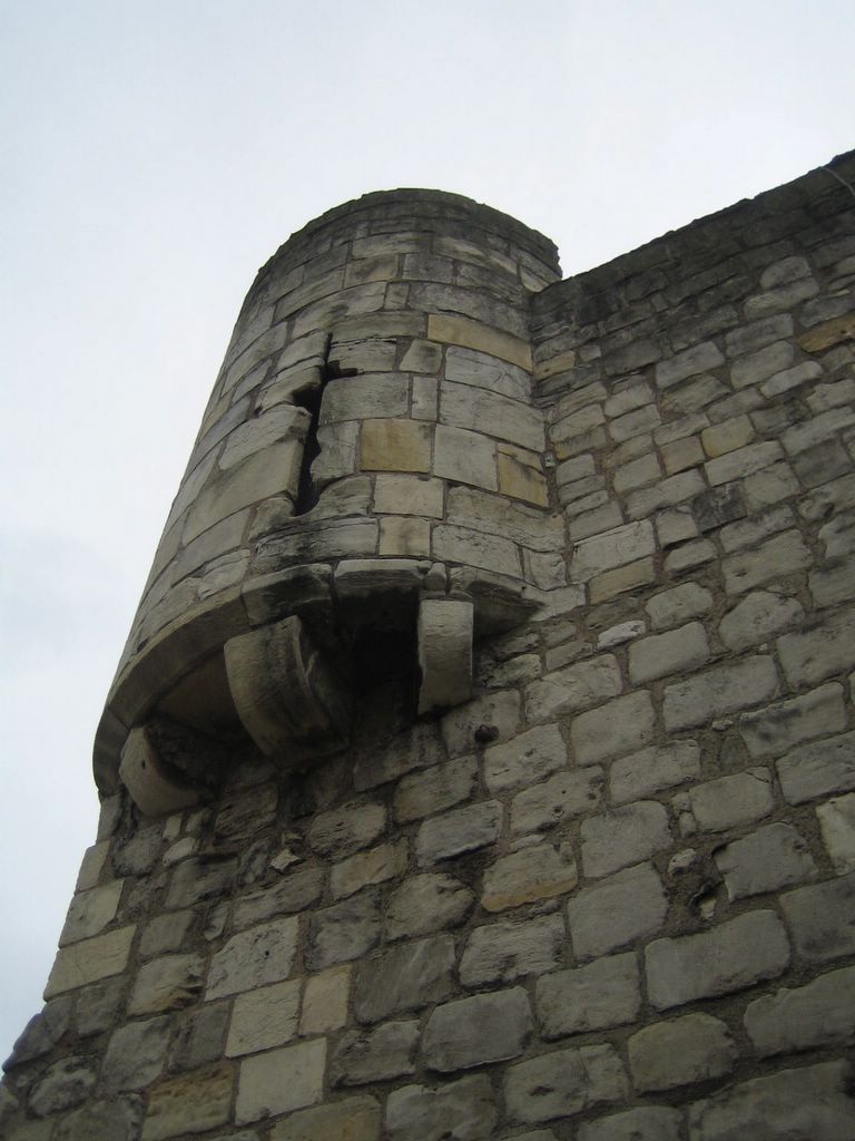
Note the archery slit in the turret of Bootham Bar.
Bootham Bar stands on the 4th century foundations of the Roman Northwest Gate into town which they called Porta Principals Dextra. The Romans were sticklers for order and would lay out their marching camps in identical playing-card shaped layouts. Two roads would bisect their three-acre camp and divide it into right (dextra) and left sides. The camp would be divided top to bottom by a second street running called the Via Principalis. Each camp would have an entrance on the Via Principalis on the right (Dextra) and left hand sides. When they built forts, the Romans used the same layout on a more grand scale. This minimized confusion on the part of their spear carriers: "wherever, you go, there you are." In the 1900s, the Mormons would do much to implement such cookie-cutter town design. But in between, we seemed to have created urban layouts that manage to get everyone lost on many levels.
At York, the Romans first constructed walls of wood but after AD 300 replaced them with stone separating eight ten-sided defense towers (called multiangular towers). All of the multiangular towers have been torn down except for a partial remnant we'll see in a later entry of our York pages.
York was a legionary fortress (which meant it kept 5200 soldiers, a Roman legion on about a 50 acre site. This layout of their city, called Eburacum, shaped the footprint of the Yorks that followed. Even today, excavation for new buildings inevitably runs into the old Roman sewer.

Lost? If so, click here for a good map of the York Walls (in PDF format)
For more narrative on York, see our description web page by clicking here.
|
|
Send us email (it's safe to enable JavaScript on this page) |