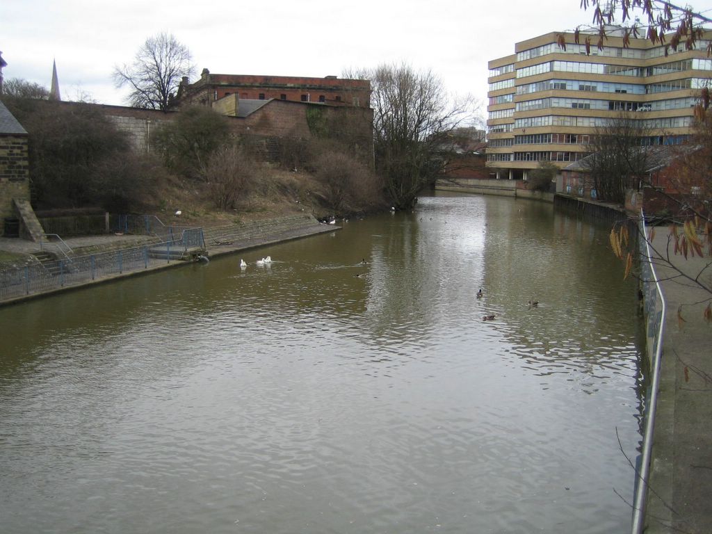
With the Normans long assimilated, the Foss river is much quieter today. Viking ships have been replaced by swans and ducks (no avian flu was evident). (It's unlikely a Viking ship could get in here today as they tend to be about the size of the office building on the right). The Foss will mouth at the Ouse river just to the south of this picture. Clifford's tower and the Castle museums will soon emerge from the left.

Let's orient ourselves on the map below (photographed at the museum garden area). The green pretty much highlights the walls. We've walked down to the 5:30 position and are about to cross the Foss river snaking into our map from the upper right. The next few pages will discuss two monuments in the castle area (but there will be another web page to show much more of them). We'll skip over crossing the Ouse river for now but will talk about the lovely Skeldergate bridge on another page.
Lost? If so, click here for a good map of the York Walls (in PDF format)
For more narrative on York, see our description web page by clicking here.
|
|
Send us email (it's safe to enable JavaScript on this page) |