|
|
Send us email (it's safe to enable JavaScript on this page) |
From Bootham Bar, where we started our circumnavigation of York, until Monk Bar, the town's walls pretty much follow the line of the original Roman fortifications. If you lined up a playing card on a map of the Northwest edge of the current York Walls, you'd outline the old Roman fort. Monk Bar replaced a Roman gate, but the replacement was moved to the southeast because it interfered with the quiet of the Deanery grounds.
Once the Romans made the place safe, the emerging town expanded beyond the legionary fort. The Roman town of Emboracum was the northernmost major town in the Roman empire and quickly attracted civilians for protection and trade.
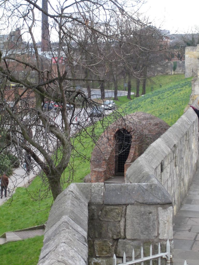
This picture was taking progressing East just past Monk Bar. The brick hornets' nest just outside the rampart is an ice house. Since the trees haven't budded yet, we can see a bit of the Foss river in the background

Lost? If so, click here for a good map of the York Walls (in PDF format)
For more narrative on York, see our description web page by clicking here.
|
|
Send us email (it's safe to enable JavaScript on this page) |